HUMEDALES DE LA YUNGA AMAZÓNICA EN LOS DEPARTAMENTOS HUANUCO Y SAN MARTÍN, PERÚ
DOI:
https://doi.org/10.33017/RevECIPeru2009.0010/Keywords:
wetlands, yunga, amazon.Abstract
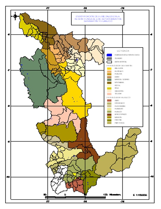
The objectives were identify and generate wetland’s cartography of Amazonian yunga, provide information about Amazonian wetlands and contribute to their management. The study area is located in the Tropical Andes Hotspot, and includes the departments of Huanuco and San Martin, considering only those wetlands that are in the range of elevation of 600 to 3600 meters above sea level. Were used satellite images and creates a database in digital media and also made the field verification based on a directed sampling. 109 wetlands in San Martin and 74 in Huanuco were identified, generating a Database: “Wetlands identified in the Ecoregion Yunga departments Huanuco and San Martín”, which includes for each wetland: area, location policy, UTM coordinates. It also has a classification determined by areas that most of the wetland has an area greater than or equal to 1 but has less than 10 ha. The total area of studied wetlands is 1620.94. ha. and largest wetland is the lagoon "El Sauce" which has 473.71 ha.


