Estimación espacial de la evapotranspiración mediante imágenes de satélite Landsat y el modelo SEBAL en el humedal Paraíso - Huacho
DOI:
https://doi.org/10.33017/RevECIPeru2011.0026/Keywords:
remote sensing, evapotranspiration, wetlands, SEBAL.Abstract
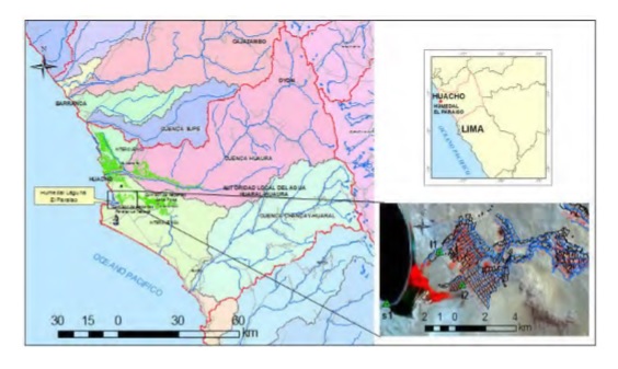
Wetlands are among the most valuables ecosystems in the world, because support a great biodiversity. Besides, provides many hydrological functions such as surface water sources, regulation of hydrological cycle, weather and aquifer recharge and discharge zones, they are also natural barriers to flooding and sea intrusion in coastal aquifer. The knowledge of the environmental water demands for wetlands is of vital importance to include these ecosystems in water resources management. In this study, the results obtained in the evapotranspiration estimation in the Paraíso wetland are presented. The results were obtained by the application of the surface energy balance model known as SEBAL over a sub scene of Landsat ETM+ satellite dated April 8, 2000, this coincide with the beginning of upwelling season in the wetland are presented. Actual evapotranspiration (ETa) estimates was in the range of 0-6.3 mm/day, the lowest values were in desert and fallow land areas and the highest values were in surface water bodies and wetland vegetations. The wetland evapotranspiration rate was high, with a maximum ET of 4.9 mm/day and average value of 4.6 mm/day. The reference evapotransporation (ETo) estimated in the satellite overpass date was 3.9 mm/day and adjusted with the crop coefficient (Kc) was 4.2 y 4.3 mm/day, for wetland vegetation and alfalfa crops. This values area close to the ETa of 4.6 y 3.9 mm/day estimated by SEBAL for the same vegetation in healthy conditions. The results obtained shows that are feasible to estimate the ETa by satellite images with a relative mean error lower than 10%.


