Estimación del Cambio de Volumen del Glaciar Champará en la Cordillera Blanca de Ancash a Partir de Datos de Satélite en el Periodo 2000-2010
DOI:
https://doi.org/10.33017/RevECIPeru2012.0008/Keywords:
Glacier flow, Remote Sensing, Sensor ASTER, LANDSAT 5 TM, Glacier Champará.Abstract
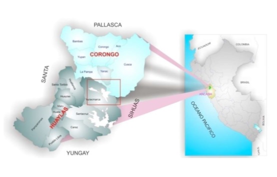
It has been estimated, the change in glacier area and volume using remote sensing tools, based on the processing and interpretation of images acquired from the ASTER sensor aboard the Terra satellite, being, the study area the glacier Champará, the studio period covers 2000 to 2010. The methodology used to estimate the glacier's surface area was used Normalized Difference Index of Snow (NDSI) and the Index Normalized Difference Water (NDWI), which serves to remove water that initially pro glacier ice is considered. Based on this methodology can be seen, a gradual variation of the Glacier area Champará, which shows a 64% reduction from 1975 to present. The average exchange rate for the period 2000-2010 is 1.03km2/año. The variation of the volume of the glacier for the period 2000-2010 the glacier Champará was determined from the empirical equations proposed by BARTH and MEIER, (1997) and digital elevation models generated from the ASTER image of the bands 3N and 3B.


